History
How it came to be
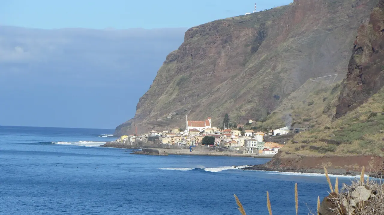
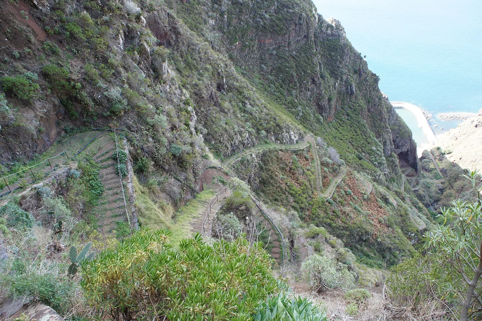
One of the eight parishes of Calheta, historically a fishing settlement cut off by its own topography. The cliff road above it is a piece of engineering in its own right. Its beach break has long been a fixture of Madeiran surfing.
What You'll See
On a visit
The harbour and the fish landing; the seafront promenade; the cliff wall behind the village, which is genuinely startling from below; and the surf, often the biggest on the island's south-west.
How to Visit
By car from Prazeres down the switchbacks, or through the tunnel from Jardim do Mar. Parking along the seafront.
Best Time
Midday, when the seafront restaurants are open
Getting There
Good to Know
For the setting and the seafront fish restaurants, yes. It is about 20 minutes from Calheta and the descent, or the tunnel, is part of the experience.
The shore is exposed pebble and boulder with real Atlantic swell, so it is a surfers' coast rather than a bathing beach. For calm water, use the enclosed beach at Calheta.
Read More