History
How it came to be
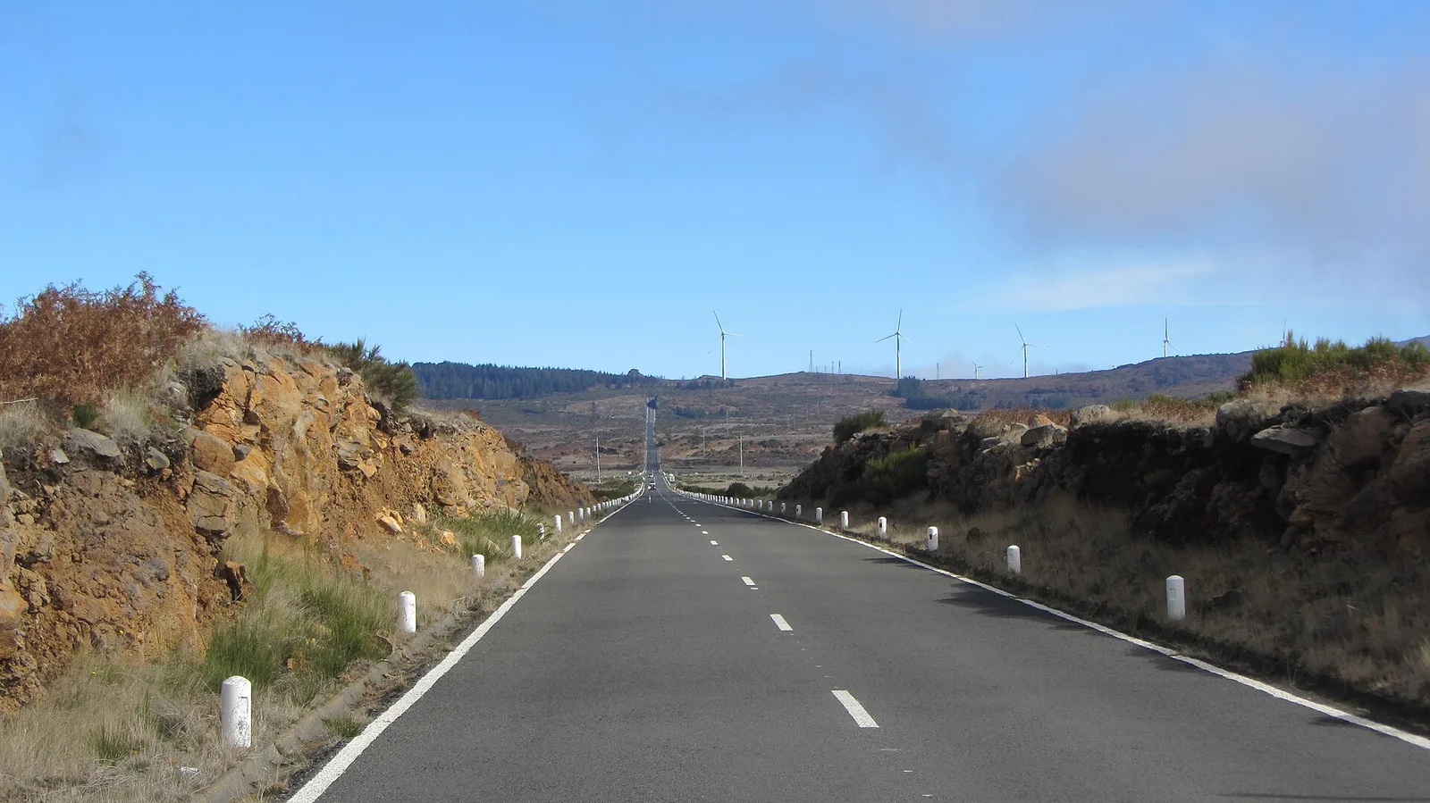
The plateau was long used for summer grazing and turf cutting, and today carries wind turbines alongside the grazing. Its rain and mist feed the channels that irrigate the cultivated south coast.
What You'll See
On a visit
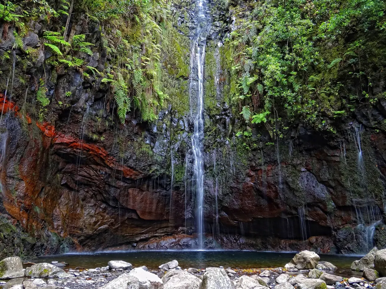
The road across the top, one of the island's great drives; the sudden cloud boundary where you climb out of or into the murk; the turn-off to Rabaçal for the levadas; and, on a clear day, views down both coasts at once.
How to Visit
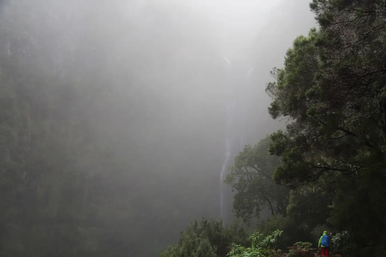
By car on the ER105 or ER110. There is no shelter and no fuel up here, mist forms fast, and roads can close in bad weather. Check conditions before driving up.
Best Time
Early morning on a clear day
Getting There
Good to Know
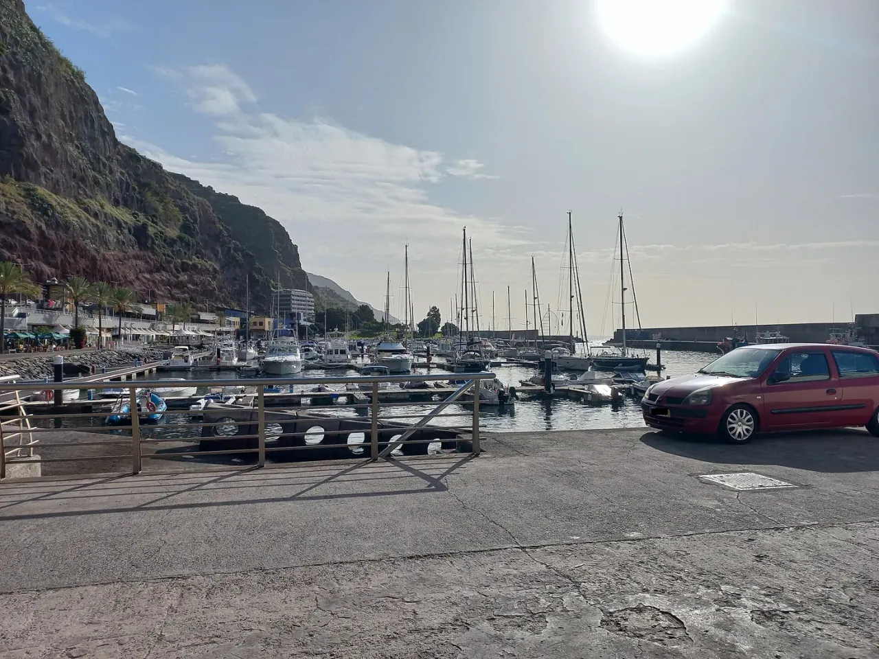
The plateau sits at roughly 1,400 m, which is why it is regularly in cloud on days when Calheta at sea level is sunny.
Yes, on the ER105 and ER110. It is straightforward in clear weather, but there is no shelter or fuel on the plateau and visibility can drop to a few metres in mist.
Read More