The single most useful thing to understand about this coast is that a grey morning at Rabaçal and a sunny afternoon on the beach are the same day, half an hour apart.
Three bands
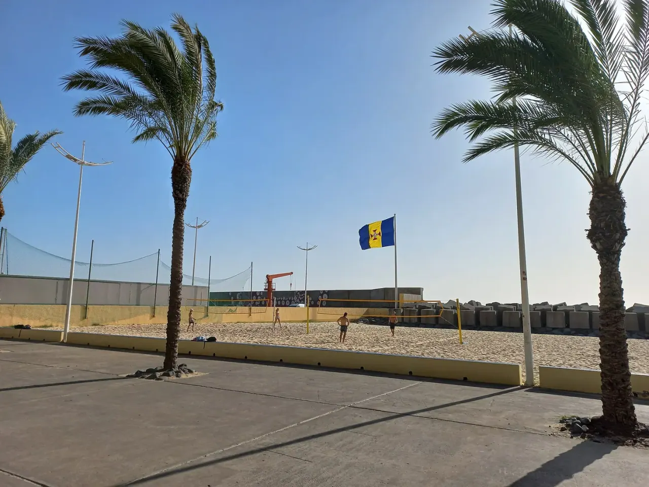
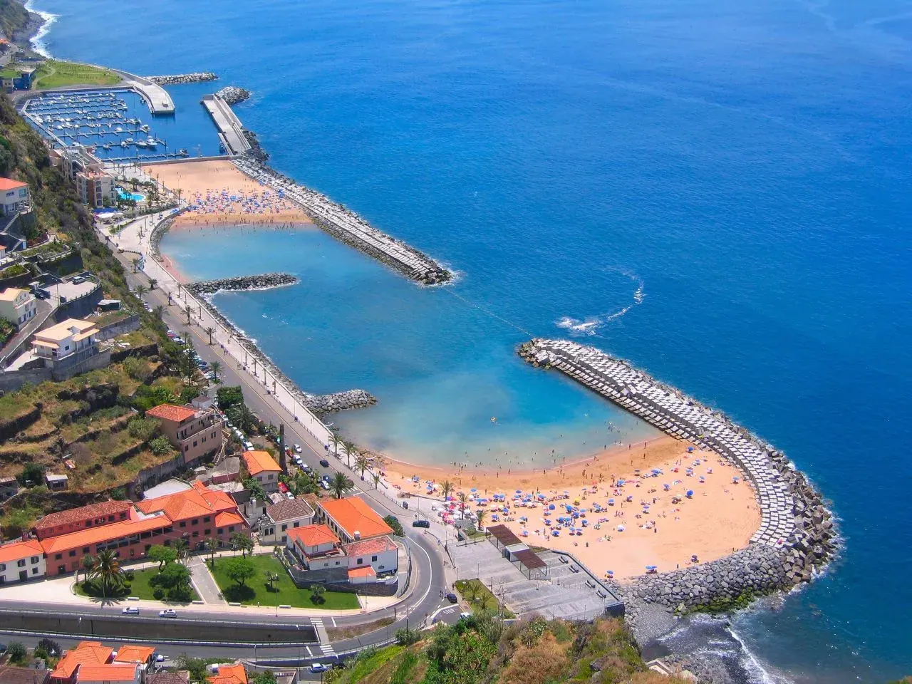
The coast (0–300 m). Calheta, the marina, the beach, the villages. The south-west is the island's driest and sunniest side. Mild all year; rarely genuinely cold.
The terraces (300–800 m). Estreito and Arco da Calheta, the MUDAS museum ridge, the banana and vine slopes. Usually the same weather as the coast, occasionally the bottom edge of the cloud.
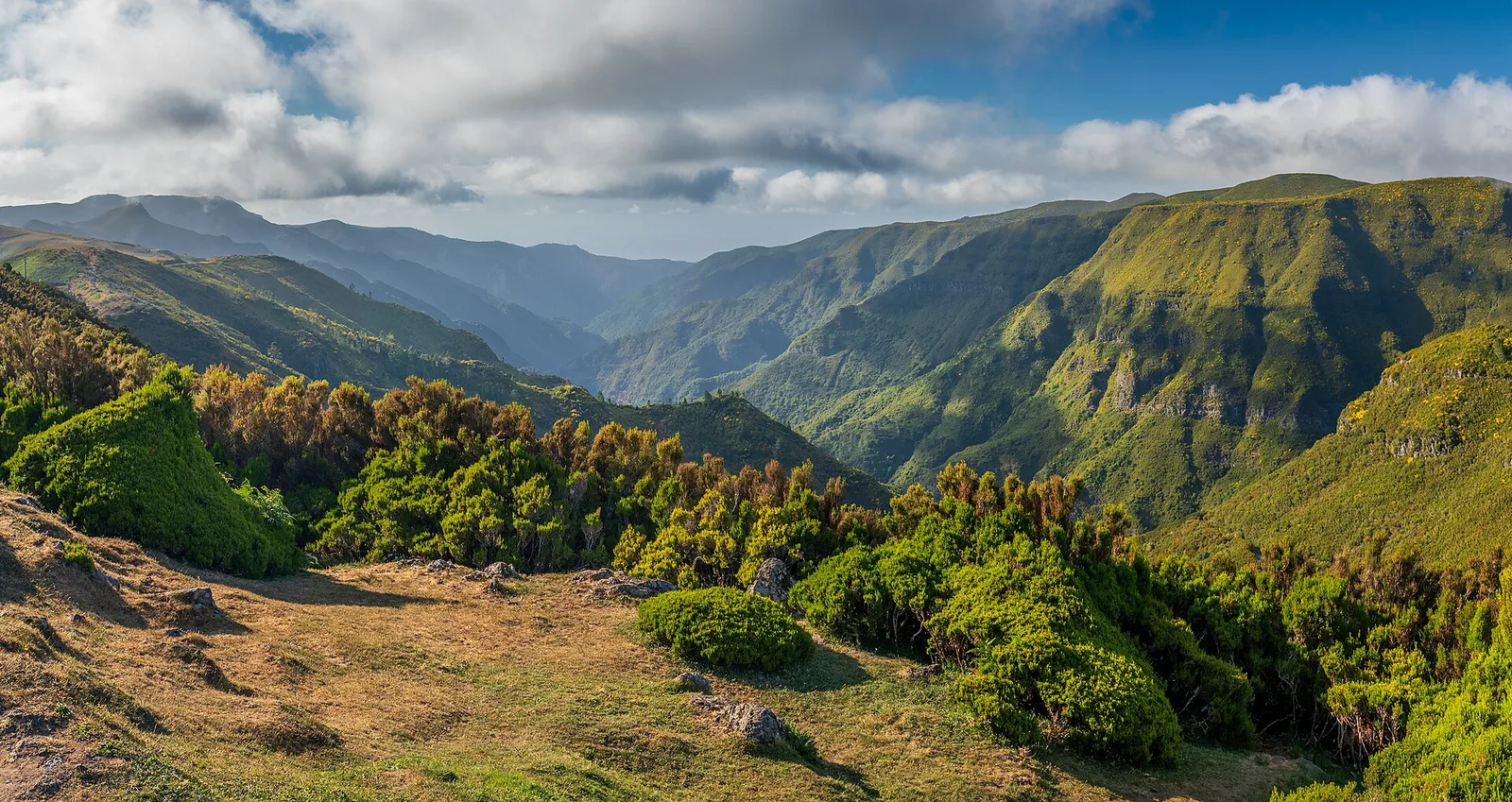
The plateau (1,200–1,500 m). Paul da Serra and the Rabaçal trailheads. Its own climate: cloud, wind, drizzle and, in winter, cold. This is where the levadas start, and it is the band that decides whether the walk happens.
The island's other split is north versus south. The north coast, Porto Moniz, Seixal, São Vicente, often carries cloud when the south is clear, and occasionally the reverse.
How to use it
Look up before you commit. From the seafront you can usually see whether the cloud is sitting on the ridge. If it is, do the beach, the mill and the museum today and the levada tomorrow.
Do not plan by month. There is no season here that reliably delivers a clear plateau. There are only days.
Check the trail status, not just the forecast. Madeira closes marked trails for weather and rockfall independently of what the sky is doing, and the closure is what actually stops you.
Take a layer up regardless. Half an hour of driving can take 8–10 °C off the temperature, and adds a wind that is not present at sea level.
What this means for a short trip
If you have two days, keep them flexible rather than assigning one to the coast and one to the mountain in advance. Book the levada slot for the morning with the better plateau outlook, and let the beach take whichever day is left. The beach is far less weather-dependent than the trail.
It also changes how you read a forecast when picking dates. See the best time to visit Calheta. The working rule is simple: if the coast is grey, go up to Rabaçal and the 25 Fontes; if the plateau is socked in, drop down to Praia da Calheta.
FAQ
Why is the plateau cloudy when Calheta is sunny? Madeira rises to around 1,800 m out of the Atlantic, and moist air lifting over that terrain condenses. Paul da Serra sits at roughly 1,400 m, squarely in that band.
Which is the sunniest part of Madeira? The south-west coast, which is where Calheta and Ponta do Sol are.
Is there a bad month to visit Calheta? No month is a write-off at sea level. January to March brings more cloud and more closed trails on the plateau, and the cheapest rates outside the holidays.
Should I cancel a levada if it is raining at the beach? Not necessarily, and the reverse also holds. The two altitudes are frequently doing different things. Check the plateau forecast and the official trail status rather than the view from your balcony.